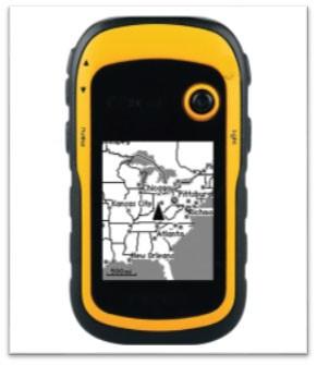
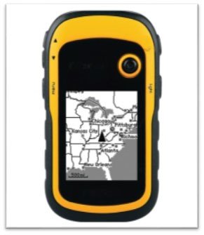
Hand Held Garmin GPS Units
Categories: Water Resources LabSpecification:- Used for preliminary surveys & mobile data collection and tracking of geo-references for student education, With precision of at least 5m, Physical and Performance Dimensions:...
Product
Description
Specification:-
- Used for preliminary surveys & mobile data collection and tracking of geo-references for student education, With precision of at least 5m, Physical and Performance
- Dimensions: 2.3"x4.5"x1.4"
- Display size: 1.53"x2.55"; 3" diagonal
- Resolution: 240 x 400 pixels
- Display type: transflective color TFT touchscreen
- Battery: 2 AA (not included); NiMH or Lithium recommended
- Waterproof: yes
- Floats: no
- High sensitivity receiver: yes
- Interface: high-speed USB and NMEA 0183 compatible
- Maps and Memory
- Base map: yes
- Preloaded maps: yes (topographic)
- Ability to add maps: yes
- Built-in memory: 850 MB
- Accepts data cards: micro SD card (not included)
- Automatic routing: yes
- Electronic compass: yes
- Picture view: yes
- Garmin Connect compatible: yes
quick overview :
Specification:-
- Used for preliminary surveys & mobile data collection and tracking of geo-references for student education, With precision of at least 5m, Physical and Performance
- Dimensions: 2.3"x4.5"x1.4"
- Display size: 1.53"x2.55"; 3" diagonal
- Resolution: 240 x 400 pixels
- Display type: transflective color TFT touchscreen
- Battery: 2 AA (not included); NiMH or Lithium recommended
- Waterproof: yes
- Floats: no
- High sensitivity receiver: yes
- Interface: high-speed USB and NMEA 0183 compatible
- Maps and Memory
- Base map: yes
- Preloaded maps: yes (topographic)
- Ability to add maps: yes
- Built-in memory: 850 MB
- Accepts data cards: micro SD card (not included)
- Automatic routing: yes
- Electronic compass: yes
- Picture view: yes
- Garmin Connect compatible: yes
Product
Reviews
add Review
reviews
No Review Yet.


.jpg)


Product
Reviews
add Review
reviews
No Review Yet.